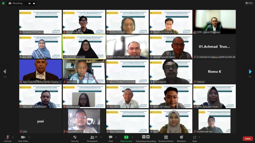
Faculty of Geography Postgraduate Program, Gadjah Mada University Interested in Regional Development Studies, Master of Geography, has held a public lecture and socialization of the Faculty of Geography Postgraduate Program, on Tuesday, June 6 2023 at 13.00 – 15.00 WIB. The theme that was carried out was “Spatial Planning and Regional Development”. Public lectures and outreach are carried out online using Zoom meeting media. The guest lecture speaker this time was Ir. Gabriel Triwibawa, M.Eng.Sc., Director General of ATR/BPN Spatial Planning and Socialization of Interest in Regional Development Studies delivered by the Head of Study Interest Prof. Dr. Rini Rachmawati, S.Si., M.T. The seminar moderator was Dr. Andri Kurniawan, S,Si., M.Si (Head of the Regional Spatial Planning Laboratory, Department of Geography, Faculty of Geography, Gadjah Mada University). The seminar remarks were given by Dr. Danang Sri Hadmoko, S.Si., M.Sc. (Dean of the Faculty of Geography, Gadjah Mada University).
Resource person Mr. Ir. Gabriel Triwibawa, M.Eng.Sc. explained about spatial planning and regional development. Spatial planning aims to create harmony between the natural environment and the built environment; realizing integration in the use of natural resources and artificial resources with human resources and realizing the protection of spatial functions and prevention of negative impacts on the environment due to spatial use. The general spatial layout plan hierarchically consists of: a. National Spatial Plan; b. Provincial Spatial Planning; c. Regency Area Spatial Plan; d. Urban Area Spatial Plan. The detailed spatial plan consists of a. RTR islands/islands, RTR KSN, RZ KSNT, RZ KAW, and RDTR KPN as a detailed plan of the National RTRW; b. district RDTR as a detailed plan of district RTRW; c. City RDTR as a detailed plan of City RTRW. Utilization of Space in the Regions is based on the implementation results of the synchronization of the Development Plan with the Spatial Plan. The implementation of spatial use control is carried out to encourage the realization of spatial planning in accordance with the spatial layout plan. Control over territorial implications is carried out in control zones where there is concentration and/or domination of certain space utilization activities which are high and have the potential to exceed the carrying capacity and capacity and in zones that are encouraged to occur very low concentration and/or domination of certain spatial utilization activities which need to be improved in accordance with with RTRs.
Resource person Mrs. Prof. Dr. Rini Rachmawati, S.Si., M.T. explained the Profile of the Postgraduate Program in the Faculty of Geography Interested in Regional Development Studies, Gadjah Mada University. There are several paths for Postgraduate Education in the Faculty of Geography Interested in Regional Development Studies. The regular track is a combination of lectures and thesis research, deepening areas of expertise. The program is taken within 24 months with a semester system. The total number of credits that must be taken is 44 credits consisting of eleven compulsory courses (23 credits) consisting of five compulsory courses in Geography Study Program (10 credits) and six compulsory courses Interest in Regional Development Studies (13 credits). The by research path is a research collaboration and guidance. The total number of credits that must be taken is 39 credits. There is a new Double Degree Master’s Program (DDM): Double Degree Cooperation between Universitas Gadjah Mada/UGM (Faculty of Geography) and University of Groningen/UG (Faculty of Spatial Sciences). It is a deepening of the field of expertise in two fields, namely Regional Development-Geography and Society, Sustainability and Planning. The program is taken for 2 years, the 1st year at Gadjah Mada University and the 2nd year at the University of Groningen.
